A powerful storm system is set to hit the Midwest this weekend, putting Illinois and Iowa at risk for severe weather conditions, including tornadoes, large hail, damaging winds, and even snowfall in some regions.
Meteorologists are warning residents to stay alert as the storm could bring a mix of extreme weather events that may lead to power outages, travel disruptions, and property damage.
The National Weather Service (NWS) has issued weather advisories, emphasizing the need for preparedness ahead of the storm’s arrival.
Storm Development and Expected Timeline
The storm system is expected to begin late Friday evening and intensify throughout the weekend, lasting into early Monday. Forecasters indicate that:
- Friday Night: The storm will begin forming over the central Midwest, bringing light rain and wind gusts as temperatures fluctuate.
- Saturday Morning to Afternoon: Severe thunderstorms are expected to develop, particularly in Iowa and western Illinois, with conditions ripe for hail and tornadoes.
- Saturday Evening into Sunday: As the system strengthens, the likelihood of tornadoes increases, with areas in central and eastern Iowa and western Illinois at the highest risk.
- Sunday Night into Monday: As the storm moves eastward, cold air from the north may trigger snowfall in northern Iowa and parts of Illinois.
Cities likely to experience the storm’s brunt include Des Moines, Cedar Rapids, Davenport, Peoria, Rockford, and even parts of Chicago.
Tornado Threat: High Risk for Severe Storms
Forecasters have placed portions of Iowa and Illinois under an enhanced risk level for tornado development. The warm, humid air from the south clashing with colder northern air creates the perfect conditions for strong tornadoes to form quickly.
Safety Measures to Take:
- Identify Safe Shelter Areas: Basements or small, windowless interior rooms on the lowest floor of a home provide the best protection.
- Monitor Weather Alerts: Use weather radios, local news, and smartphone alerts to stay updated.
- Prepare Emergency Kits: Include water, flashlights, extra batteries, first-aid supplies, and important documents.
- Secure Loose Outdoor Items: Patio furniture, trash bins, and decorations should be stored to prevent wind damage.
- Avoid Unnecessary Travel: Roads may become dangerous due to heavy rain, debris, or even tornado damage.
Hail and High Winds Pose Additional Dangers
Along with tornado risks, severe thunderstorms will likely bring damaging winds and large hail. Weather experts predict:
- Wind Gusts: Speeds could reach 60-70 mph, increasing the likelihood of power outages and fallen trees.
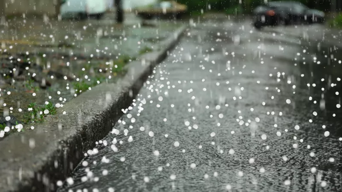
- Large Hail: Some areas could see hailstones over an inch in diameter, capable of damaging vehicles, rooftops, and crops.
- Heavy Rainfall: Flash flooding may occur in low-lying areas, making road travel hazardous.
Residents in rural and suburban areas should take extra precautions to protect vehicles, livestock, and property from hail and wind damage.

Snowfall Expected in Northern Illinois and Iowa
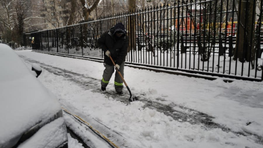
As the storm system advances, colder air will filter in from the north, turning rain into snow in some regions. Areas in northern Iowa and northern Illinois, including Rockford and Dubuque, may see measurable snow accumulations. This could create dangerous travel conditions, especially for highways and rural roads.
Key Snowfall Concerns:
- Reduced Visibility: Blowing snow may cause whiteout conditions.
- Icy Roads: Rapid temperature drops can lead to black ice, making driving treacherous.
- Possible Power Outages: Snow combined with high winds could bring down power lines.
Comparing This Storm to Past Weather Events
Severe weather in the Midwest is not uncommon, but this storm’s combination of thunderstorms, tornadoes, and snow makes it particularly dangerous. Over the past decade, similar storm systems have resulted in widespread damage, with tornado outbreaks and extreme windstorms disrupting communities across Illinois and Iowa.
The upcoming storm has the potential to produce comparable impacts, prompting authorities to urge heightened awareness and preparedness.
How Residents Can Stay Safe and Informed
Given the unpredictable nature of severe storms, staying informed is crucial. Residents should regularly check updates from:
- The National Weather Service (NWS): Offers real-time alerts and forecast discussions.
- Local News and Radio Stations: Provide emergency broadcasts and storm tracking.
- Weather Apps and Alerts: Enable notifications for severe weather warnings.
- Community Emergency Services: Follow guidance from local emergency management teams.
For real-time storm tracking, alerts, and safety recommendations, visit the National Weather Service or tune in to your local news stations.
After the Storm: What Comes Next?
By Monday, the storm system will likely move out of the region, leaving behind cooler temperatures and clearer skies. However, residual flooding, debris cleanup, and power restoration efforts could take days in heavily impacted areas.
Officials are already monitoring additional weather patterns that could bring more severe weather to the Midwest in the coming weeks. With spring approaching, fluctuating temperatures often lead to unstable weather, meaning Illinois and Iowa residents should remain on alert for future storms.
Disclaimer – Our team has carefully fact-checked this article to make sure it’s accurate and free from any misinformation. We’re dedicated to keeping our content honest and reliable for our readers.
